Since the “Green Revolution” in the middle of the 20th century, mineral fertilisers have greatly boosted food production. However, the use of fertilisers can have environmental impacts where nutrients are in excess of plant requirements and become susceptible to leach into ground and/or surface water. Conversely, insufficient fertiliser applied to replace the nutrients removed as a consequence of production can also lead to adverse environmental outcomes such as overgrazing and erosion. Using technology to determine the correct amount required is key.
Ravensdown, driven by a desire to help its farmer shareholders improve their productivity and profitability and reduce their environmental footprint, looked around the world for technologies that would assist with better measurement of soil fertility to enable more precise and efficient applications of fertiliser.
As with most countries we have a range of soils within NZ – and the fertility of these is seldom uniform.
Some paddocks can be much more or less fertile compared to their immediate neighbours – up to 50% more or less. Even within a single paddock significant differences in fertility occur. In a hill country beef or lamb farm, the undulating nature of the topography and differences in microclimates means even greater variability in fertiliser responsiveness: a very steep, dry hill with low soil moisture content won’t grow much pasture, while the soil in a less steeply contoured hill soil holds more moisture is more productive. However, with variability comes opportunity.
Aware that using traditional approaches to undertake an intensive manual soil sampling programme in hill country would need a resource the size of the New Zealand army, we sought emerging, world-leading technologies to deliver a solution. We were aware of sophisticated scanning technologies that used imaging (measuring a range of light bands) to capture data remotely, albeit they were used in different applications, such as in medical, defence or food processing industries. The Hyperspectral scanner uses some 2500 wavebands compared to our digital cameras which use 3 wavebands. We took the decision to evaluate the technology for assessing the characteristics of soils remotely.
Our ambition is to undertake soil testing from the sky.
To this end, we embarked on a seven year $14 million project with our investment partner MPI under the Primary Growth Partnership Programme (PGP). Massey University and AgResearch are the key science providers in the work.
Our goal is ambitious. Can we accurately, quickly and cheaply gather detailed soil and plant data on hill country farms so we can be much more precise with the types and rate of fertiliser nutrients applied by air? If so, can we produce significantly more from the fertilisers used whilst reducing the impact on the environment? A double benefit.
Fertiliser is one of the top expenditure items for farmers, up there alongside debt servicing and feed – if farmers can reduce their fertiliser expenditure through greater efficiency, they will be more profitable and have greater choice about where else to invest, be it fencing, riparian planting, or a new wool-shed. Better data about the fertility characteristics of their farm will also give farmers the confidence to make decisions about how to best use their land – whether some part of it would be better given over to Manuka and honey production, or afforestation, for example.
Early results are very encouraging from four research farms. Thus far we’ve undertaken detailed scanning of these farms from two aircraft equipped with remote sensing equipment, accompanied by intensive on-farm soil and plant measurement. We’ve taken over 1,000 soil and herbage measurements per farm, compared to a typical 5-10 measurements per farm, building up a detailed picture of soil and plant characteristics. To our knowledge no farms in New Zealand have had as many soils and plants analysed in a single season as these research farms have.
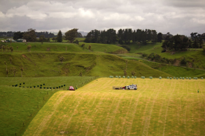
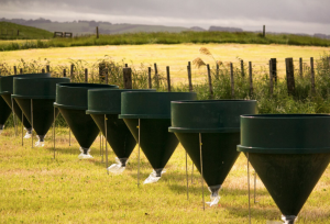
We have collected massive amounts of data running into many Terabytes which is now being analysed and the early results look promising. What we are seeing, in correlating the remote with the on-farm measurements, is that the data is accurate and at a very good resolution – down to the level of 1 square metre. This resolution of data is what will enable farmers to plan the application of fertiliser in a much more precise manner, instead of the “blanket” top-dressing approach which previously saw some areas over-fertilised and other areas under-fertilised.
At the end of this season we will have intensively sampled eight research farms geographically covering both the North and South Islands – including Otago, Canterbury, Nelson, Wairarapa, Hawkes Bay, Wanganui, Central North Island, and the Waikato.
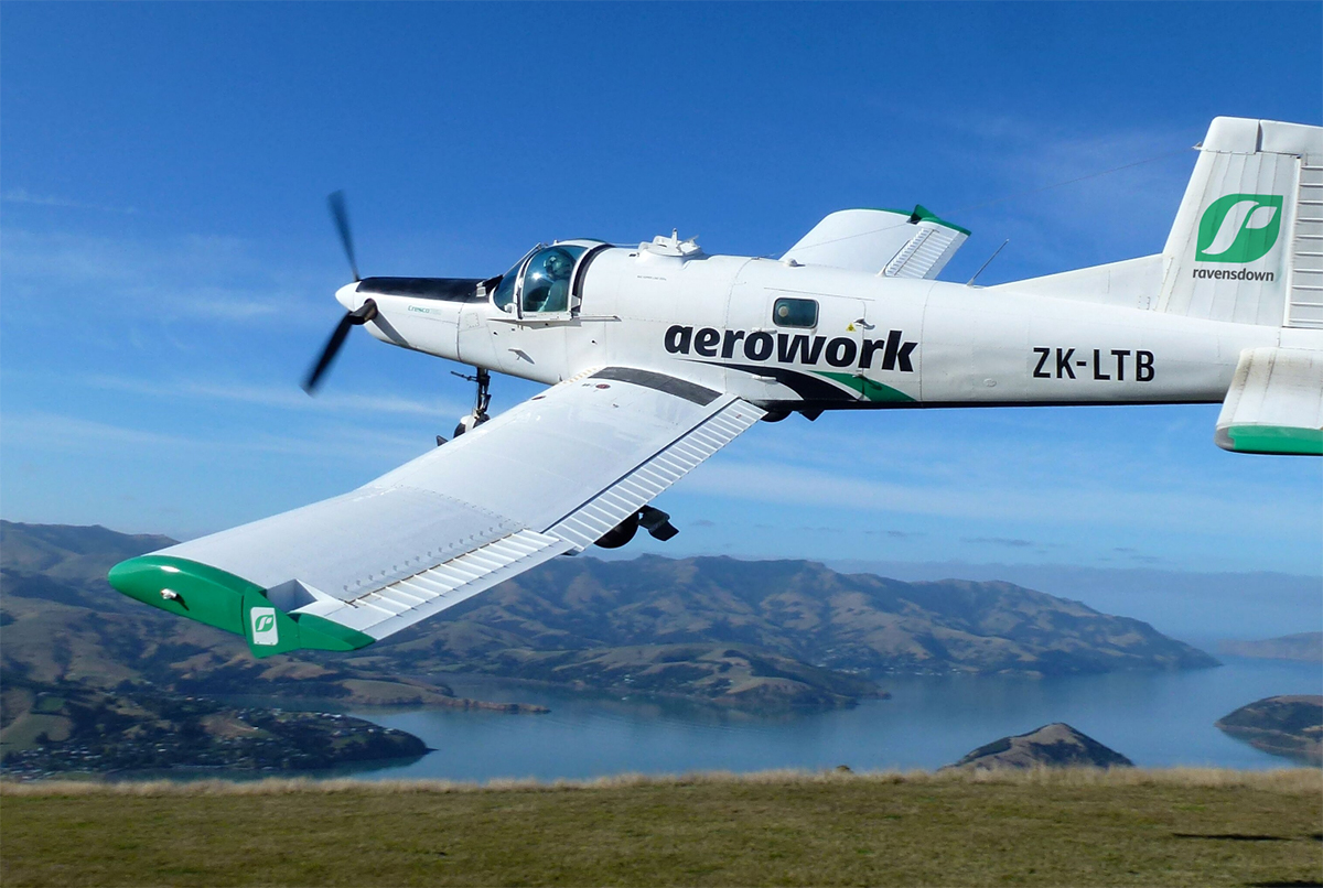
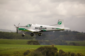
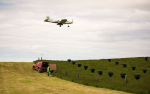
In the two years since we started we have already delivered on one key aspect ahead of schedule. In two topdressing planes we can now send an electronic instruction to the plane that ensures fertiliser is automatically applied at the intended rate when the plane is over the target area with a post application record of the event.
No more do farmers need to be concerned that the fertiliser went on the wrong paddock or even the wrong farm. The next step is to automatically apply fertilisers at different rates within a hill country farm based on enhanced resolution from the scanning results.
This is absolutely transformational, a world first so far as we know, and represents the biggest advancement since topdressing began in the 1950’s. When we speak to shareholders about this the most common sentiment thus far has been ‘can you go faster with this project?’, such is the opportunity for enhancing the performance of our hill country farms and the farmers’ desire to leverage technology to improve.

Leave a comment